Terraced housing, Boundary Road, Carlisle
Introduction
The photograph on this page of Terraced housing, Boundary Road, Carlisle by Graham Robson as part of the Geograph project.
The Geograph project started in 2005 with the aim of publishing, organising and preserving representative images for every square kilometre of Great Britain, Ireland and the Isle of Man.

There are currently over 7.5m images from over 14,400 individuals and you can help contribute to the project by visiting https://www.geograph.org.uk
Terraced housing, Boundary Road, Carlisle
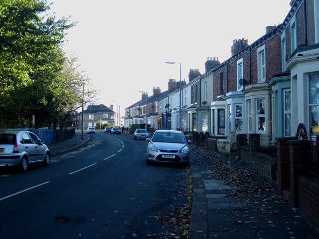
Image: © Graham Robson Taken: 3 Nov 2013
A curving row of terraced housing on Boundary Road, Carlisle. The grounds of Bishop Harvey Goodwin Primary School border the left hand side of the road.
Images are licensed for reuse under creativecommons.org/licenses/by-sa/2.0
Image Location
Latitude
54.879908
Longitude
-2.9278