Moss Street
Introduction
The photograph on this page of Moss Street by Anne Burgess as part of the Geograph project.
The Geograph project started in 2005 with the aim of publishing, organising and preserving representative images for every square kilometre of Great Britain, Ireland and the Isle of Man.

There are currently over 7.5m images from over 14,400 individuals and you can help contribute to the project by visiting https://www.geograph.org.uk
Moss Street
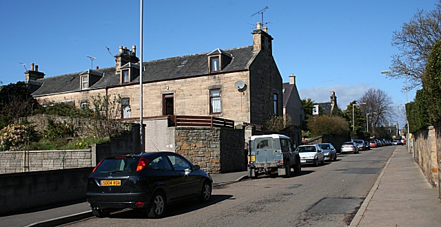
Image: © Anne Burgess Taken: 22 Mar 2007
Several of the houses in Moss Street are built in the traditional orientation, with gable ends to the street. This is the most direct route from the town centre to the railway station, but traffic is now encouraged to use a more circuitous route to avoid congestion in Moss Street.
Images are licensed for reuse under creativecommons.org/licenses/by-sa/2.0
Image Location


Leaflet Map data © OpenStreetMap
Latitude
57.64517
Longitude
-3.31054