Footbridge and footpaths, Ruddington
Introduction
The photograph on this page of Footbridge and footpaths, Ruddington by Richard Vince as part of the Geograph project.
The Geograph project started in 2005 with the aim of publishing, organising and preserving representative images for every square kilometre of Great Britain, Ireland and the Isle of Man.

There are currently over 7.5m images from over 14,400 individuals and you can help contribute to the project by visiting https://www.geograph.org.uk
Footbridge and footpaths, Ruddington
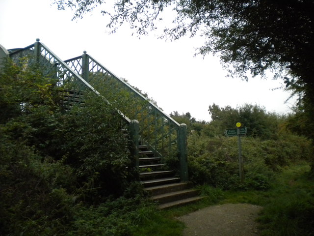
Image: © Richard Vince Taken: 23 Sep 2013
The footbridge carries a public footpath over a section of the Great Central Railway's London Extension that is still used, by the Great Central Railway (Nottingham) (a preservation group). Alternatively, one can take a different path, which parallels the railway for some distance south from here (right).
Images are licensed for reuse under creativecommons.org/licenses/by-sa/2.0
Image Location
Latitude
52.890673
Longitude
-1.160347