Leopold Street, Belfast
Introduction
The photograph on this page of Leopold Street, Belfast by Albert Bridge as part of the Geograph project.
The Geograph project started in 2005 with the aim of publishing, organising and preserving representative images for every square kilometre of Great Britain, Ireland and the Isle of Man.

There are currently over 7.5m images from over 14,400 individuals and you can help contribute to the project by visiting https://www.geograph.org.uk
Leopold Street, Belfast
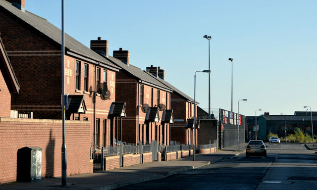
Image: © Albert Bridge Taken: 12 Nov 2013
Leopold Street dates from before 1861 and once ran from Yew Street (close to the Shankill Road), across Ohio Street, to the Crumlin Road. Today’s rebuilt version is now a short cul-de-sac from Ohio Street (behind me). This is the western side.
Images are licensed for reuse under creativecommons.org/licenses/by-sa/2.0
Image Location
Latitude
54.610907
Longitude
-5.957556