Looe from the end of the breakwater, 1979
Introduction
The photograph on this page of Looe from the end of the breakwater, 1979 by Robin Webster as part of the Geograph project.
The Geograph project started in 2005 with the aim of publishing, organising and preserving representative images for every square kilometre of Great Britain, Ireland and the Isle of Man.

There are currently over 7.5m images from over 14,400 individuals and you can help contribute to the project by visiting https://www.geograph.org.uk
Looe from the end of the breakwater, 1979
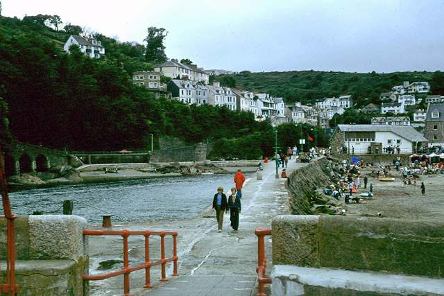
Image: © Robin Webster Taken: Unknown
West Looe, the part west of the river, is mainly in this view. The breakwater is mapped as a 'pier', but is of solid rock construction, not my idea of a pier.
Images are licensed for reuse under creativecommons.org/licenses/by-sa/2.0
Image Location
Latitude
50.35214
Longitude
-4.455095