Tabard Street contraflow
Introduction
The photograph on this page of Tabard Street contraflow by Stephen Craven as part of the Geograph project.
The Geograph project started in 2005 with the aim of publishing, organising and preserving representative images for every square kilometre of Great Britain, Ireland and the Isle of Man.

There are currently over 7.5m images from over 14,400 individuals and you can help contribute to the project by visiting https://www.geograph.org.uk
Tabard Street contraflow
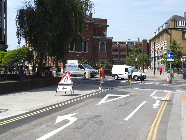
Image: © Stephen Craven Taken: 22 Jul 2013
A contraflow cycle lane for cyclists had been recently introduced in the otherwise one-way Tabard Street.
Images are licensed for reuse under creativecommons.org/licenses/by-sa/2.0
Image Location
Latitude
51.500977
Longitude
-0.092025