Old Newark Road, Mansfield, Notts.
Introduction
The photograph on this page of Old Newark Road, Mansfield, Notts. by David Hallam-Jones as part of the Geograph project.
The Geograph project started in 2005 with the aim of publishing, organising and preserving representative images for every square kilometre of Great Britain, Ireland and the Isle of Man.

There are currently over 7.5m images from over 14,400 individuals and you can help contribute to the project by visiting https://www.geograph.org.uk
Old Newark Road, Mansfield, Notts.
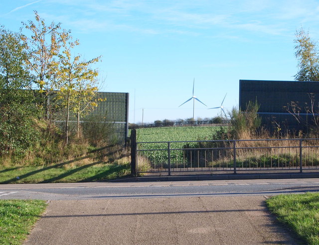
Image: © David Hallam-Jones Taken: 10 Nov 2013
On the other side of the A6117 dual carriageway (a.k.a. Adamsway), between the high fences, a surfaced footpath leads 150 yds downhill until it reaches the south-westerly edge of the Bellamy Road (residential) Estate and a mile long properly-maintained stretch of the former Old Newark Road (still called Old Newark Road). The eastern section of the former Old Newark Road, on this side of the road, gives the impression of being maintained in a usable condition however, within 50 yds the route resorts to being a rough-and-ready track that is only suitable for mountain bikers, pedestrians and horses-riders. The Lindhurst Wind Farm can is also visible in the distance.
Images are licensed for reuse under creativecommons.org/licenses/by-sa/2.0
Image Location
Latitude
53.12239
Longitude
-1.16884