Humber Lane, Kingsteignton
Introduction
The photograph on this page of Humber Lane, Kingsteignton by Derek Harper as part of the Geograph project.
The Geograph project started in 2005 with the aim of publishing, organising and preserving representative images for every square kilometre of Great Britain, Ireland and the Isle of Man.

There are currently over 7.5m images from over 14,400 individuals and you can help contribute to the project by visiting https://www.geograph.org.uk
Humber Lane, Kingsteignton
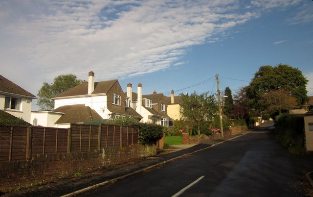
Image: © Derek Harper Taken: 10 Nov 2013
The start of a long climb through housing and into countryside, with the lane running for three and a half kilometres to the hamlet of Humber.
Images are licensed for reuse under creativecommons.org/licenses/by-sa/2.0
Image Location
Latitude
50.551028
Longitude
-3.589757