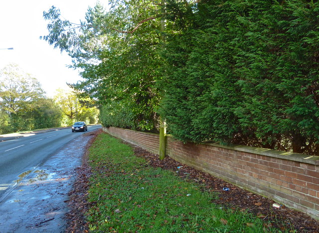
Hale Road, Hale Barns
Introduction
The photograph on this page of Hale Road, Hale Barns by Anthony O'Neil as part of the Geograph project.
The Geograph project started in 2005 with the aim of publishing, organising and preserving representative images for every square kilometre of Great Britain, Ireland and the Isle of Man.
There are currently over 7.5m images from over 14,400 individuals and you can help contribute to the project by visiting https://www.geograph.org.uk

Image: © Anthony O'Neil Taken: 9 Nov 2013
Looking in the direction of the M56. To the right of the low brick wall there used to be two tennis courts in the gardens of Prospect House. This land was sold for building. Previously, the boundary wall of the gardens had been at the pavement edge, and about seven feet high. When nearby Prospect Drive was developed, this became a severe hazard for drivers trying to turn onto Hale Road without being able to see oncoming traffic.

