Unnamed lane
Introduction
The photograph on this page of Unnamed lane by Ian Calderwood as part of the Geograph project.
The Geograph project started in 2005 with the aim of publishing, organising and preserving representative images for every square kilometre of Great Britain, Ireland and the Isle of Man.

There are currently over 7.5m images from over 14,400 individuals and you can help contribute to the project by visiting https://www.geograph.org.uk
Unnamed lane
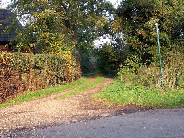
Image: © Ian Calderwood Taken: 9 Nov 2013
This unnamed lane appears on the 1836 Ordnance Survey map. Nowadays, it peters out in fields to the north-east of Belton, but the public footpath continues on to Glebe Farm on Dry Pot Lane.
Images are licensed for reuse under creativecommons.org/licenses/by-sa/2.0
Image Location


Leaflet Map data © OpenStreetMap
Latitude
52.783538
Longitude
-1.333954