Longford River aqueduct
Introduction
The photograph on this page of Longford River aqueduct by Stephen Williams as part of the Geograph project.
The Geograph project started in 2005 with the aim of publishing, organising and preserving representative images for every square kilometre of Great Britain, Ireland and the Isle of Man.

There are currently over 7.5m images from over 14,400 individuals and you can help contribute to the project by visiting https://www.geograph.org.uk
Longford River aqueduct
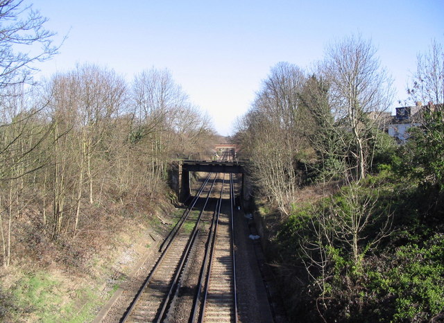
Image: © Stephen Williams Taken: 21 Mar 2007
This is the view from the A312 Uxbridge Road in Hampton as it crosses the Shepperton Line railway between Fulwell and Hampton stations. The first bridge is an aqueduct carrying the artificial Longford River. In the distance is the bridge linking Holly Road and School Road.
Images are licensed for reuse under creativecommons.org/licenses/by-sa/2.0
Image Location


Leaflet Map data © OpenStreetMap
Latitude
51.423124
Longitude
-0.360932