Bristol International Airport
Introduction
The photograph on this page of Bristol International Airport by M J Richardson as part of the Geograph project.
The Geograph project started in 2005 with the aim of publishing, organising and preserving representative images for every square kilometre of Great Britain, Ireland and the Isle of Man.

There are currently over 7.5m images from over 14,400 individuals and you can help contribute to the project by visiting https://www.geograph.org.uk
Bristol International Airport
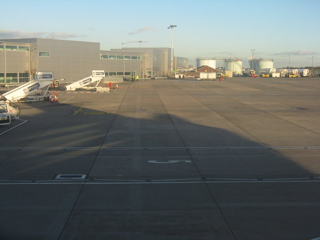
Image: © M J Richardson Taken: 4 Nov 2013
Fuel tanks looking east from an aircraft just boarded at Gate 13. Unshown on current mapping or latest [2009] Google Earth imager, these gates are now served by a long westwards extension to the main terminal - a long walk with no moving walkways.
Images are licensed for reuse under creativecommons.org/licenses/by-sa/2.0
Image Location
Latitude
51.385388
Longitude
-2.712139