Straight tarmac path west, Priory Park, Warwick
Introduction
The photograph on this page of Straight tarmac path west, Priory Park, Warwick by Robin Stott as part of the Geograph project.
The Geograph project started in 2005 with the aim of publishing, organising and preserving representative images for every square kilometre of Great Britain, Ireland and the Isle of Man.

There are currently over 7.5m images from over 14,400 individuals and you can help contribute to the project by visiting https://www.geograph.org.uk
Straight tarmac path west, Priory Park, Warwick
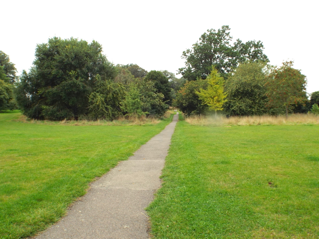
Image: © Robin Stott Taken: 13 Sep 2013
It heads straight for the site of Priory House (dismantled in the 1920s) but turns sharply south on approaching a scrub-covered bank which may once have been part of an Iron Age hillfort. The trees in the middle distance were planted in the early 1990s as the first stage of an arboretum.
Images are licensed for reuse under creativecommons.org/licenses/by-sa/2.0
Image Location
Latitude
52.285012
Longitude
-1.582602