Logan
Introduction
The photograph on this page of Logan by Bob Forrest as part of the Geograph project.
The Geograph project started in 2005 with the aim of publishing, organising and preserving representative images for every square kilometre of Great Britain, Ireland and the Isle of Man.

There are currently over 7.5m images from over 14,400 individuals and you can help contribute to the project by visiting https://www.geograph.org.uk
Logan
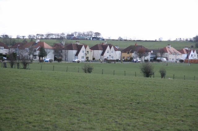
Image: © Bob Forrest Taken: 20 Mar 2007
Council housing scheme located above the valley of the Lugar Water which has a history of flooding. The community is set in open countryside on the outskirts of Cumnock burgh. The minor road from the Glenmuir Water (Image) passes in front of the houses on its way to join the A70.
Images are licensed for reuse under creativecommons.org/licenses/by-sa/2.0
Image Location
Latitude
55.45696
Longitude
-4.237635