Queen's Road Public Open Space, Penarth
Introduction
The photograph on this page of Queen's Road Public Open Space, Penarth by Jaggery as part of the Geograph project.
The Geograph project started in 2005 with the aim of publishing, organising and preserving representative images for every square kilometre of Great Britain, Ireland and the Isle of Man.

There are currently over 7.5m images from over 14,400 individuals and you can help contribute to the project by visiting https://www.geograph.org.uk
Queen's Road Public Open Space, Penarth
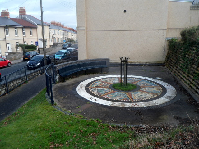
Image: © Jaggery Taken: 9 Dec 2012
This formerly derelict site was landscaped in 2006 as part of the Penarth Central Renewal Area project 2000-2010 funded by the Vale of Glamorgan Council and the Welsh Assembly Government. The central mosaic seen here, in the form of a compass, was designed by local artist Maureen O'Kane and funded by The Old Penarth Community Forum.
Images are licensed for reuse under creativecommons.org/licenses/by-sa/2.0
Image Location
Latitude
51.442915
Longitude
-3.173038