Ghyll Road
Introduction
The photograph on this page of Ghyll Road by David Harvey as part of the Geograph project.
The Geograph project started in 2005 with the aim of publishing, organising and preserving representative images for every square kilometre of Great Britain, Ireland and the Isle of Man.

There are currently over 7.5m images from over 14,400 individuals and you can help contribute to the project by visiting https://www.geograph.org.uk
Ghyll Road
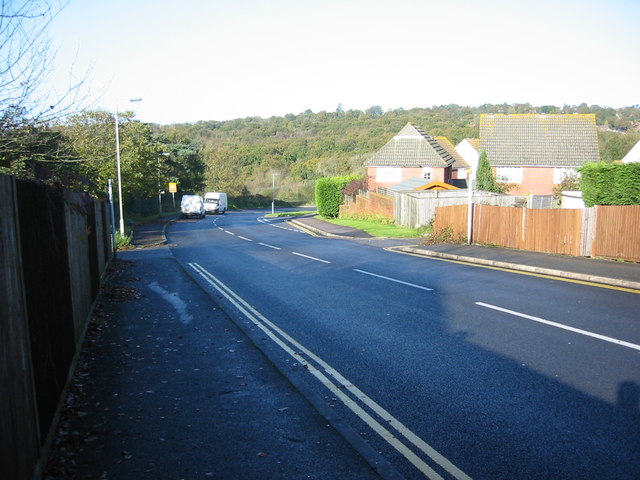
Image: © David Harvey Taken: 7 Nov 2005
Top of Ghyll Road photographed on November 7th 2005 before the Sylvas Grange housing estate was built.
Images are licensed for reuse under creativecommons.org/licenses/by-sa/2.0
Image Location
Latitude
50.959634
Longitude
0.249698