Ford near Chalcott's Farm
Introduction
The photograph on this page of Ford near Chalcott's Farm by Rod Allday as part of the Geograph project.
The Geograph project started in 2005 with the aim of publishing, organising and preserving representative images for every square kilometre of Great Britain, Ireland and the Isle of Man.

There are currently over 7.5m images from over 14,400 individuals and you can help contribute to the project by visiting https://www.geograph.org.uk
Ford near Chalcott's Farm
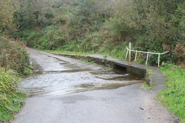
Image: © Rod Allday Taken: 10 Nov 2013
Over a small stream which flows eventually to the sea at Holywell Bay. To the locals, this ford is known as Tommascotty which roughly translates as "house in the wooded valley by the stream" (thanks to Simon Glanville for this information).
Images are licensed for reuse under creativecommons.org/licenses/by-sa/2.0
Image Location
Latitude
50.352054
Longitude
-5.115442