Moorside, near White Carr Lane
Introduction
The photograph on this page of Moorside, near White Carr Lane by Barbara Carr as part of the Geograph project.
The Geograph project started in 2005 with the aim of publishing, organising and preserving representative images for every square kilometre of Great Britain, Ireland and the Isle of Man.

There are currently over 7.5m images from over 14,400 individuals and you can help contribute to the project by visiting https://www.geograph.org.uk
Moorside, near White Carr Lane
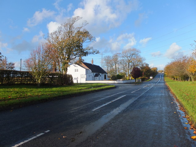
Image: © Barbara Carr Taken: 7 Nov 2013
Approaching the bridge over the M55. To the left of picture, White Carr Lane goes northwesterly to White Carr Farm.
Images are licensed for reuse under creativecommons.org/licenses/by-sa/2.0
Image Location
Latitude
53.804895
Longitude
-2.85758