The Scottish dilemma: is this a public path?
Introduction
The photograph on this page of The Scottish dilemma: is this a public path? by Bill Boaden as part of the Geograph project.
The Geograph project started in 2005 with the aim of publishing, organising and preserving representative images for every square kilometre of Great Britain, Ireland and the Isle of Man.

There are currently over 7.5m images from over 14,400 individuals and you can help contribute to the project by visiting https://www.geograph.org.uk
The Scottish dilemma: is this a public path?
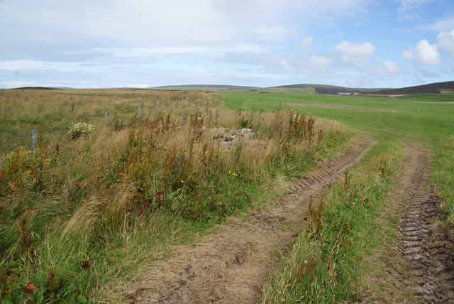
Image: © Bill Boaden Taken: 6 Aug 2013
A path is marked on the map, but Scottish maps never give any indication whether anyone can use them or not. I used this one.
Images are licensed for reuse under creativecommons.org/licenses/by-sa/2.0
Image Location
Latitude
59.021934
Longitude
-3.155779