Low lying boggy land near The Refuge
Introduction
The photograph on this page of Low lying boggy land near The Refuge by Bill Boaden as part of the Geograph project.
The Geograph project started in 2005 with the aim of publishing, organising and preserving representative images for every square kilometre of Great Britain, Ireland and the Isle of Man.

There are currently over 7.5m images from over 14,400 individuals and you can help contribute to the project by visiting https://www.geograph.org.uk
Low lying boggy land near The Refuge
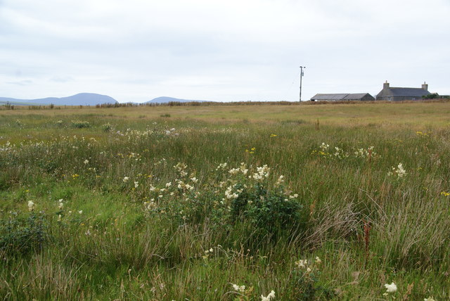
Image: © Bill Boaden Taken: 6 Aug 2013
This is part of the drainage basin of the Loch of Wasdale. The mountains of Hoy can be seen in the far distance.
Images are licensed for reuse under creativecommons.org/licenses/by-sa/2.0
Image Location
Latitude
59.020603
Longitude
-3.153992