Looking NNE across Purdy's burn.
Introduction
The photograph on this page of Looking NNE across Purdy's burn. by Brian Shaw as part of the Geograph project.
The Geograph project started in 2005 with the aim of publishing, organising and preserving representative images for every square kilometre of Great Britain, Ireland and the Isle of Man.

There are currently over 7.5m images from over 14,400 individuals and you can help contribute to the project by visiting https://www.geograph.org.uk
Looking NNE across Purdy's burn.
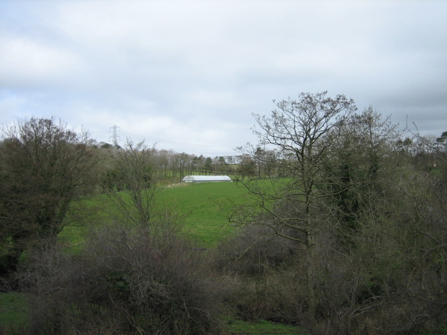
Image: © Brian Shaw Taken: 22 Mar 2007
The stream runs from right to left, and is obscured by the brush. Purdysburn village is named for the stream.
Images are licensed for reuse under creativecommons.org/licenses/by-sa/2.0
Image Location
Latitude
54.537718
Longitude
-5.907287