OS rivet at Crackleybank
Introduction
The photograph on this page of OS rivet at Crackleybank by Richard Law as part of the Geograph project.
The Geograph project started in 2005 with the aim of publishing, organising and preserving representative images for every square kilometre of Great Britain, Ireland and the Isle of Man.

There are currently over 7.5m images from over 14,400 individuals and you can help contribute to the project by visiting https://www.geograph.org.uk
OS rivet at Crackleybank
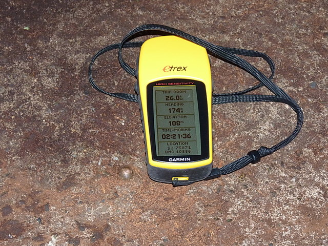
Image: © Richard Law Taken: 9 Nov 2013
A brass OS rivet in the concrete pad in front of a GPO (nowadays BT) box on the SE side of the Crackleybank crossroads. Situated just at the bottom-left corner of my Garmin, it took some finding, as the pad had several inches of vegetation and accumulated muck on top of it. Originally levelled at 113.38m above Ordnance Datum Newlyn. OS rivets are a variation on the conventional cutmarks or benchmarks, but served much the same purpose.
Images are licensed for reuse under creativecommons.org/licenses/by-sa/2.0
Image Location
Latitude
52.695103
Longitude
-2.358474