Lawnswood Road, Lawnswood, Wordsley, Stourbridge
Introduction
The photograph on this page of Lawnswood Road, Lawnswood, Wordsley, Stourbridge by P L Chadwick as part of the Geograph project.
The Geograph project started in 2005 with the aim of publishing, organising and preserving representative images for every square kilometre of Great Britain, Ireland and the Isle of Man.

There are currently over 7.5m images from over 14,400 individuals and you can help contribute to the project by visiting https://www.geograph.org.uk
Lawnswood Road, Lawnswood, Wordsley, Stourbridge
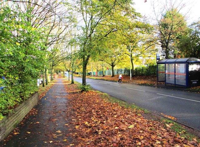
Image: © P L Chadwick Taken: 9 Nov 2013
Autumnal colours in Lawnswood Road, near the Lawnswood public house. On the other side of the road is a bus shelter and stop. This area near the western edge of Wordsley is usually called Lawnswood.
Images are licensed for reuse under creativecommons.org/licenses/by-sa/2.0
Image Location
Latitude
52.482327
Longitude
-2.172385