View Towards Chipstead Bottom
Introduction
The photograph on this page of View Towards Chipstead Bottom by Peter Trimming as part of the Geograph project.
The Geograph project started in 2005 with the aim of publishing, organising and preserving representative images for every square kilometre of Great Britain, Ireland and the Isle of Man.

There are currently over 7.5m images from over 14,400 individuals and you can help contribute to the project by visiting https://www.geograph.org.uk
View Towards Chipstead Bottom
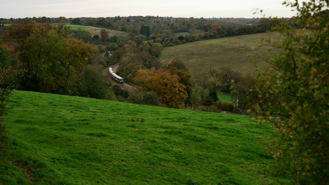
Image: © Peter Trimming Taken: 7 Nov 2013
The London Bridge train can be seen, rumbling down Chipstead Valley. Two trains per hour from Tattenham Corner, plus one per hour which shuttles down as far as Purley.
Images are licensed for reuse under creativecommons.org/licenses/by-sa/2.0
Image Location
Latitude
51.300795
Longitude
-0.17063