Green Lane near Denford Ash
Introduction
The photograph on this page of Green Lane near Denford Ash by Will Lovell as part of the Geograph project.
The Geograph project started in 2005 with the aim of publishing, organising and preserving representative images for every square kilometre of Great Britain, Ireland and the Isle of Man.

There are currently over 7.5m images from over 14,400 individuals and you can help contribute to the project by visiting https://www.geograph.org.uk
Green Lane near Denford Ash
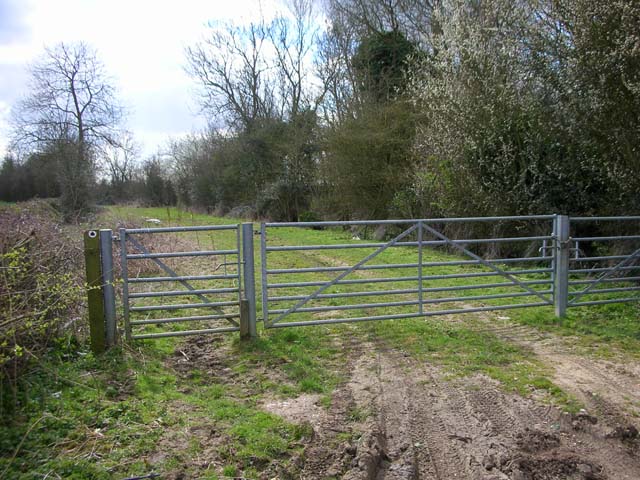
Image: © Will Lovell Taken: 21 Mar 2007
The lane is now classified as a bridleway, but is probably part of an old road from Raunds to Titchmarsh.
Images are licensed for reuse under creativecommons.org/licenses/by-sa/2.0
Image Location


Leaflet Map data © OpenStreetMap
Latitude
52.378432
Longitude
-0.518354