The West End, Stratford-upon-Avon
Introduction
The photograph on this page of The West End, Stratford-upon-Avon by Jaggery as part of the Geograph project.
The Geograph project started in 2005 with the aim of publishing, organising and preserving representative images for every square kilometre of Great Britain, Ireland and the Isle of Man.

There are currently over 7.5m images from over 14,400 individuals and you can help contribute to the project by visiting https://www.geograph.org.uk
The West End, Stratford-upon-Avon
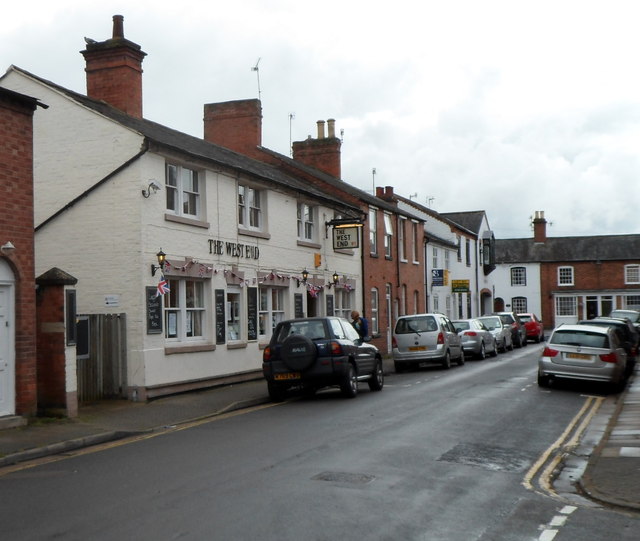
Image: © Jaggery Taken: 7 Jul 2012
Bull Street pub viewed from the corner of Narrow Lane in Stratford's Old Town. This view was taken in July 2012. In early 2013, the refurbished pub reopened as The New Bulls Head.
Images are licensed for reuse under creativecommons.org/licenses/by-sa/2.0
Image Location
Latitude
52.187311
Longitude
-1.71092