The old A5 (Watling Street)
Introduction
The photograph on this page of The old A5 (Watling Street) by Rob Farrow as part of the Geograph project.
The Geograph project started in 2005 with the aim of publishing, organising and preserving representative images for every square kilometre of Great Britain, Ireland and the Isle of Man.

There are currently over 7.5m images from over 14,400 individuals and you can help contribute to the project by visiting https://www.geograph.org.uk
The old A5 (Watling Street)
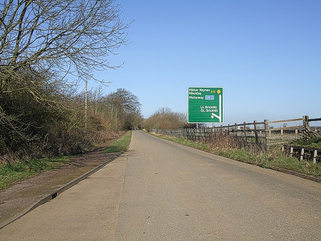
Image: © Rob Farrow Taken: 14 Mar 2007
This is the old A5 that used to carry on through Little Brickhill village. The (comparatively) new A5 now sweeps round the village. The green sign is on this new road, showing how close it is to the old route at this point. I'm classifying this as "Road (disused)" as although still open to traffic, it is no longer the thoroughfare it used to be.
Images are licensed for reuse under creativecommons.org/licenses/by-sa/2.0
Image Location
Latitude
51.975938
Longitude
-0.666094