Boothroyd Lane, Rastrick
Introduction
The photograph on this page of Boothroyd Lane, Rastrick by Humphrey Bolton as part of the Geograph project.
The Geograph project started in 2005 with the aim of publishing, organising and preserving representative images for every square kilometre of Great Britain, Ireland and the Isle of Man.

There are currently over 7.5m images from over 14,400 individuals and you can help contribute to the project by visiting https://www.geograph.org.uk
Boothroyd Lane, Rastrick
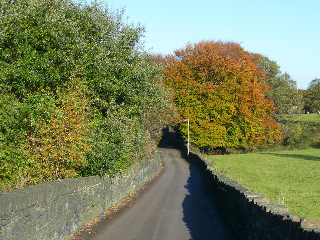
Image: © Humphrey Bolton Taken: 7 Nov 2013
This is an unadopted lane leading to the William Henry Smith Special Needs School, and is also Brighouse FP122.
Images are licensed for reuse under creativecommons.org/licenses/by-sa/2.0
Image Location
Latitude
53.690244
Longitude
-1.807192