Direction sign on Ballybogey Road at the junction with
Introduction
The photograph on this page of Direction sign on Ballybogey Road at the junction with by Eric Jones as part of the Geograph project.
The Geograph project started in 2005 with the aim of publishing, organising and preserving representative images for every square kilometre of Great Britain, Ireland and the Isle of Man.

There are currently over 7.5m images from over 14,400 individuals and you can help contribute to the project by visiting https://www.geograph.org.uk
Direction sign on Ballybogey Road at the junction with
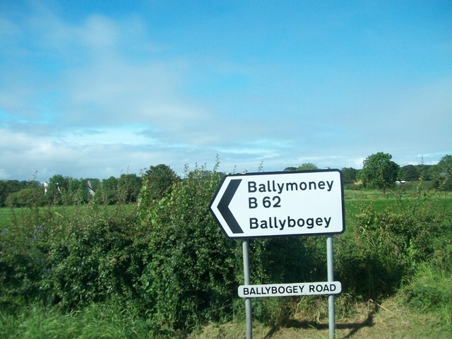
Image: © Eric Jones Taken: 9 Aug 2011
Ballybogey, also spelt Ballybogy, is derived from the Irish Baile Bogaigh meaning "boggy townland"
Images are licensed for reuse under creativecommons.org/licenses/by-sa/2.0
Image Location
Latitude
55.171981
Longitude
-6.575614