The Bangor Road at Marino
Introduction
The photograph on this page of The Bangor Road at Marino by Albert Bridge as part of the Geograph project.
The Geograph project started in 2005 with the aim of publishing, organising and preserving representative images for every square kilometre of Great Britain, Ireland and the Isle of Man.

There are currently over 7.5m images from over 14,400 individuals and you can help contribute to the project by visiting https://www.geograph.org.uk
The Bangor Road at Marino
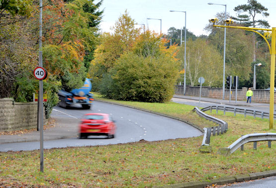
Image: © Albert Bridge Taken: 8 Nov 2013
See Image The Bangor-bound lanes from the same spot. This is close to the end of the dual carriageway. The road becomes four lanes until it reaches Ballyrobert where the dual carriageway resumes.
Images are licensed for reuse under creativecommons.org/licenses/by-sa/2.0
Image Location
Latitude
54.645298
Longitude
-5.817324