Bridleway to East Hill Farm
Introduction
The photograph on this page of Bridleway to East Hill Farm by Jonathan Billinger as part of the Geograph project.
The Geograph project started in 2005 with the aim of publishing, organising and preserving representative images for every square kilometre of Great Britain, Ireland and the Isle of Man.

There are currently over 7.5m images from over 14,400 individuals and you can help contribute to the project by visiting https://www.geograph.org.uk
Bridleway to East Hill Farm
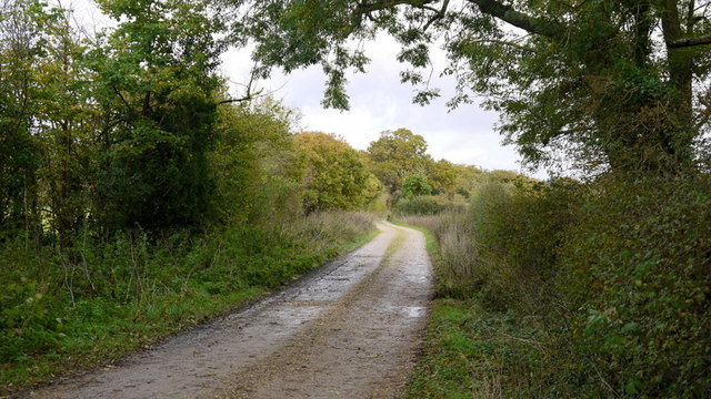
Image: © Jonathan Billinger Taken: 7 Nov 2013
It would appear that it is used as one of the vehicular drives to the farm.
Images are licensed for reuse under creativecommons.org/licenses/by-sa/2.0
Image Location
Latitude
50.795764
Longitude
-1.381466