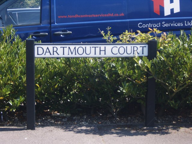
Dartmouth Court
Introduction
The photograph on this page of Dartmouth Court by Daniel Karmy as part of the Geograph project.
The Geograph project started in 2005 with the aim of publishing, organising and preserving representative images for every square kilometre of Great Britain, Ireland and the Isle of Man.
There are currently over 7.5m images from over 14,400 individuals and you can help contribute to the project by visiting https://www.geograph.org.uk

Image: © Daniel Karmy Taken: 27 Aug 2013
Court or Close? There lies the great Gosport Geograph conundrum. Now, then. I had a check with Google Earth prior to submitting the last image, and Google Earth lists this area as 'Dartmouth Close' part of which constitutes 'Dartmouth Court'. The sign evidently disagrees, which leaves me in a kind of limbo-esque position. I mean, who to trust - Google, or the people who wrote the sign? Well, I'm going with Court for this upload, because that's the name shown in the photograph. I personally believe it to be Close, however...

