Edge of the Science Park
Introduction
The photograph on this page of Edge of the Science Park by Des Blenkinsopp as part of the Geograph project.
The Geograph project started in 2005 with the aim of publishing, organising and preserving representative images for every square kilometre of Great Britain, Ireland and the Isle of Man.

There are currently over 7.5m images from over 14,400 individuals and you can help contribute to the project by visiting https://www.geograph.org.uk
Edge of the Science Park
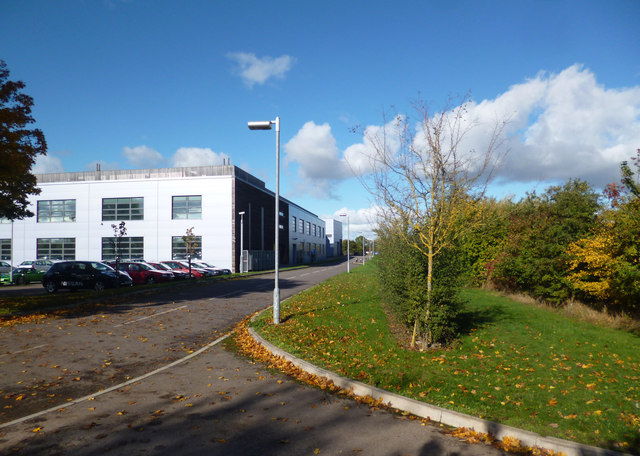
Image: © Des Blenkinsopp Taken: 23 Oct 2013
This is the eastern side of the Institute of Advanced Technology building on Begbroke Science Park. The IAT is a multi used building accommodating a mix of research groups from different science based University Departments, as well as one commercially occupied wing.
Images are licensed for reuse under creativecommons.org/licenses/by-sa/2.0
Image Location
Latitude
51.818341
Longitude
-1.304607