The Miner Way
Introduction
The photograph on this page of The Miner Way by Kate Jewell as part of the Geograph project.
The Geograph project started in 2005 with the aim of publishing, organising and preserving representative images for every square kilometre of Great Britain, Ireland and the Isle of Man.

There are currently over 7.5m images from over 14,400 individuals and you can help contribute to the project by visiting https://www.geograph.org.uk
The Miner Way
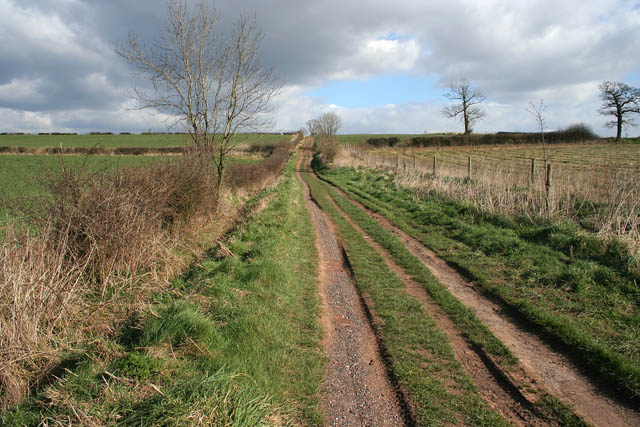
Image: © Kate Jewell Taken: 20 Mar 2007
This footpath follows the line of Pretoria Road, an old right of way between Ibstock and Ellistown. There is a crossroads of footpaths at the top of the hill in the centre of the featured square. Farmland to the left and the newly planted Common Hill Wood, part of the National Forest, to the right.
Images are licensed for reuse under creativecommons.org/licenses/by-sa/2.0
Image Location
Latitude
52.689996
Longitude
-1.374437