Taxiway of former WWII airfield
Introduction
The photograph on this page of Taxiway of former WWII airfield by Tony Hibberd as part of the Geograph project.
The Geograph project started in 2005 with the aim of publishing, organising and preserving representative images for every square kilometre of Great Britain, Ireland and the Isle of Man.

There are currently over 7.5m images from over 14,400 individuals and you can help contribute to the project by visiting https://www.geograph.org.uk
Taxiway of former WWII airfield
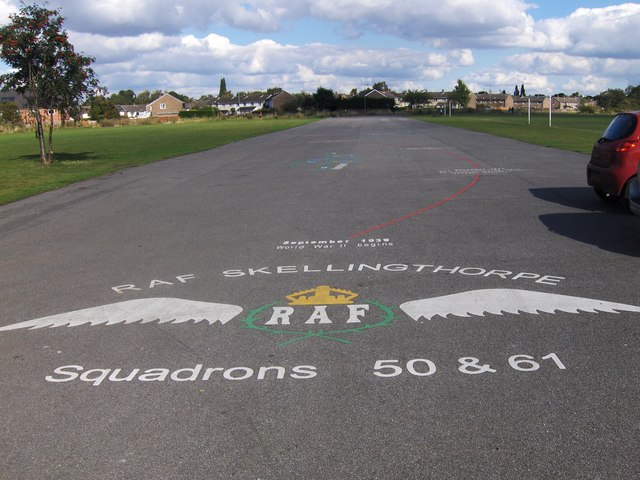
Image: © Tony Hibberd Taken: 21 Sep 2012
This is the last surviving section of taxiway at the site of the former RAF Skellingthorpe airfield on the outskirts of Lincoln. Now covered by the Birchwood Estate, this short section was recently resurfaced and local schools have marked out a timeline detailing the history of the airfield
Images are licensed for reuse under creativecommons.org/licenses/by-sa/2.0
Image Location
Latitude
53.216229
Longitude
-0.601077