Crossroads, Tideford
Introduction
The photograph on this page of Crossroads, Tideford by Derek Harper as part of the Geograph project.
The Geograph project started in 2005 with the aim of publishing, organising and preserving representative images for every square kilometre of Great Britain, Ireland and the Isle of Man.

There are currently over 7.5m images from over 14,400 individuals and you can help contribute to the project by visiting https://www.geograph.org.uk
Crossroads, Tideford
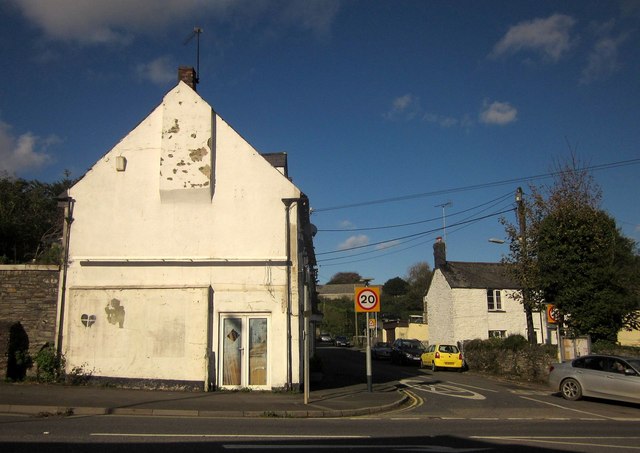
Image: © Derek Harper Taken: 4 Nov 2013
Roadwise, the focal point of the village, but unfortunately with the A38 ploughing through the middle. Opposite is Church Road.
Images are licensed for reuse under creativecommons.org/licenses/by-sa/2.0
Image Location
Latitude
50.414059
Longitude
-4.326539