Residential area between the M2 and the A6 (Antrim Road)
Introduction
The photograph on this page of Residential area between the M2 and the A6 (Antrim Road) by Eric Jones as part of the Geograph project.
The Geograph project started in 2005 with the aim of publishing, organising and preserving representative images for every square kilometre of Great Britain, Ireland and the Isle of Man.

There are currently over 7.5m images from over 14,400 individuals and you can help contribute to the project by visiting https://www.geograph.org.uk
Residential area between the M2 and the A6 (Antrim Road)
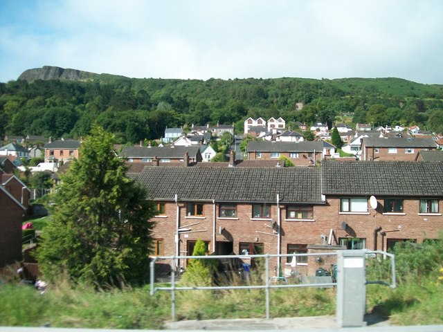
Image: © Eric Jones Taken: 9 Aug 2011
Belfast Zoo is located in the wooded area in the background.
Images are licensed for reuse under creativecommons.org/licenses/by-sa/2.0
Image Location
Latitude
54.658652
Longitude
-5.938423