Skippingdale coversands
Introduction
The photograph on this page of Skippingdale coversands by Jonathan Thacker as part of the Geograph project.
The Geograph project started in 2005 with the aim of publishing, organising and preserving representative images for every square kilometre of Great Britain, Ireland and the Isle of Man.

There are currently over 7.5m images from over 14,400 individuals and you can help contribute to the project by visiting https://www.geograph.org.uk
Skippingdale coversands
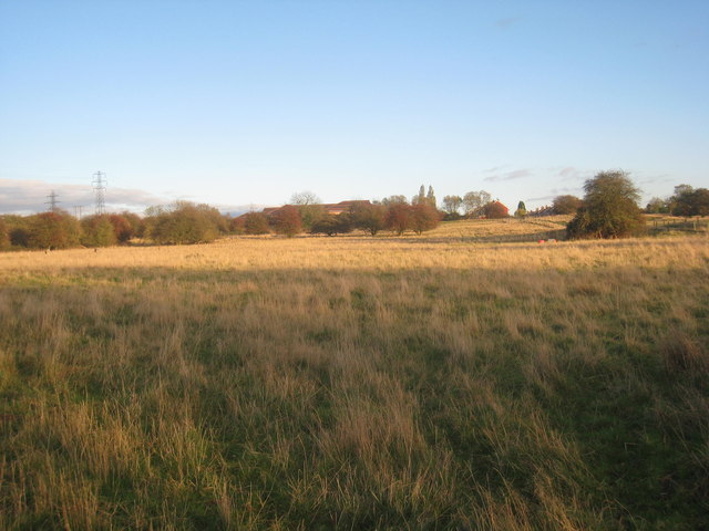
Image: © Jonathan Thacker Taken: 5 Nov 2013
The coversands are relics of once extensive lowland heath areas and have been part of an ongoing project to protect and restore them. Here a small area has been protected from urban development and Hebridean sheep are grazed to prevent the development of woodland.
Images are licensed for reuse under creativecommons.org/licenses/by-sa/2.0
Image Location
Latitude
53.603669
Longitude
-0.664025