View from Nork Park
Introduction
The photograph on this page of View from Nork Park by Marathon as part of the Geograph project.
The Geograph project started in 2005 with the aim of publishing, organising and preserving representative images for every square kilometre of Great Britain, Ireland and the Isle of Man.

There are currently over 7.5m images from over 14,400 individuals and you can help contribute to the project by visiting https://www.geograph.org.uk
View from Nork Park
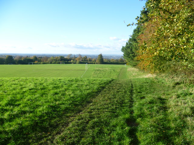
Image: © Marathon Taken: 4 Nov 2013
Nork did not exist until the 18th or 19th century when it was an agricultural hamlet of Banstead village. It was named after its house built during the reign of Charles II. Nork Park is part of the old estate of Nork House, which was bought by the former Banstead Council in 1947. The park includes the site of Nork House which was demolished around 1930. There are extensive views from the park across West London to Wembley Stadium and beyond.
Images are licensed for reuse under creativecommons.org/licenses/by-sa/2.0
Image Location
Latitude
51.317693
Longitude
-0.222624