Approaching Tyddyn Rheinallt
Introduction
The photograph on this page of Approaching Tyddyn Rheinallt by Eric Jones as part of the Geograph project.
The Geograph project started in 2005 with the aim of publishing, organising and preserving representative images for every square kilometre of Great Britain, Ireland and the Isle of Man.

There are currently over 7.5m images from over 14,400 individuals and you can help contribute to the project by visiting https://www.geograph.org.uk
Approaching Tyddyn Rheinallt
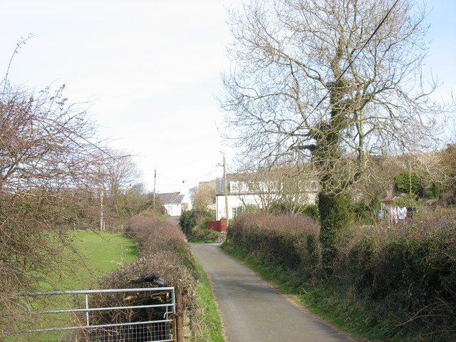
Image: © Eric Jones Taken: 21 Mar 2007
Tyddyn Rheinallt is the modernised house on the right. Beyond the house, and just into the next square, is Pentir cottage (left) and the farm gate which signifies the end of the road.
Images are licensed for reuse under creativecommons.org/licenses/by-sa/2.0
Image Location
Latitude
53.307857
Longitude
-4.06525