Farm track south of Cholsey village
Introduction
The photograph on this page of Farm track south of Cholsey village by Gerry Lewis as part of the Geograph project.
The Geograph project started in 2005 with the aim of publishing, organising and preserving representative images for every square kilometre of Great Britain, Ireland and the Isle of Man.

There are currently over 7.5m images from over 14,400 individuals and you can help contribute to the project by visiting https://www.geograph.org.uk
Farm track south of Cholsey village
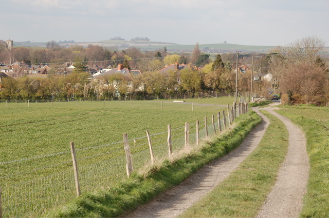
Image: © Gerry Lewis Taken: 21 Mar 2007
This farm track leading north to Honey Lane, Cholsey (SU5886) lies on the line of the Roman road from Silchester near Reading to Dorchester-on-Thames. Cholsey church's tower is just visible top left and Wittenham Clumps (SU5692) can be seen in the far distance (7kms away). The Roman road crossed the hill on the horizon just to the right of the single tree.
Images are licensed for reuse under creativecommons.org/licenses/by-sa/2.0
Image Location


Leaflet Map data © OpenStreetMap
Latitude
51.569356
Longitude
-1.151863