A38 approaching Tideford
Introduction
The photograph on this page of A38 approaching Tideford by Derek Harper as part of the Geograph project.
The Geograph project started in 2005 with the aim of publishing, organising and preserving representative images for every square kilometre of Great Britain, Ireland and the Isle of Man.

There are currently over 7.5m images from over 14,400 individuals and you can help contribute to the project by visiting https://www.geograph.org.uk
A38 approaching Tideford
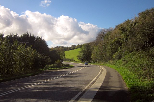
Image: © Derek Harper Taken: 4 Nov 2013
Named Quay Road here, the main road sweeps around a bend close to Kilna Quay on the River Tiddy where there is a lime warehouse. The small wood on the right houses several disused lime kilns.
Images are licensed for reuse under creativecommons.org/licenses/by-sa/2.0
Image Location


Leaflet Map data © OpenStreetMap
Latitude
50.416148
Longitude
-4.321011