Burned House Lane
Introduction
The photograph on this page of Burned House Lane by Barbara Carr as part of the Geograph project.
The Geograph project started in 2005 with the aim of publishing, organising and preserving representative images for every square kilometre of Great Britain, Ireland and the Isle of Man.

There are currently over 7.5m images from over 14,400 individuals and you can help contribute to the project by visiting https://www.geograph.org.uk
Burned House Lane
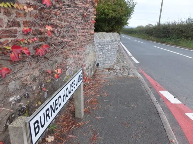
Image: © Barbara Carr Taken: 30 Oct 2013
The A588 by the crossroads near Preesall Park, north of Stalmine. Despite quite a bit of research, thus far I've been unable to find out which unfortunate house gave rise to this road-name.
Images are licensed for reuse under creativecommons.org/licenses/by-sa/2.0
Image Location
Latitude
53.908194
Longitude
-2.961076