River Thrushel
Introduction
The photograph on this page of River Thrushel by Derek Harper as part of the Geograph project.
The Geograph project started in 2005 with the aim of publishing, organising and preserving representative images for every square kilometre of Great Britain, Ireland and the Isle of Man.

There are currently over 7.5m images from over 14,400 individuals and you can help contribute to the project by visiting https://www.geograph.org.uk
River Thrushel
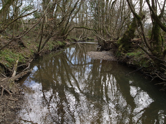
Image: © Derek Harper Taken: 21 Mar 2007
Looking downstream near Rivermead. The river briefly runs parallel to the Boasley - Way Cross at this point, just below the bridge over it.
Images are licensed for reuse under creativecommons.org/licenses/by-sa/2.0
Image Location
Latitude
50.700737
Longitude
-4.127424