Orchard Close, Skenfrith
Introduction
The photograph on this page of Orchard Close, Skenfrith by Jaggery as part of the Geograph project.
The Geograph project started in 2005 with the aim of publishing, organising and preserving representative images for every square kilometre of Great Britain, Ireland and the Isle of Man.

There are currently over 7.5m images from over 14,400 individuals and you can help contribute to the project by visiting https://www.geograph.org.uk
Orchard Close, Skenfrith
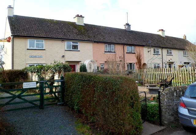
Image: © Jaggery Taken: 22 Jan 2012
The short row is the only named street in the village, and thus these are the only houses with numbers. All the other houses in the village are named, sufficient identification in a small community.
Images are licensed for reuse under creativecommons.org/licenses/by-sa/2.0
Image Location
Latitude
51.878952
Longitude
-2.79255