Chicken Lane
Introduction
The photograph on this page of Chicken Lane by M J Richardson as part of the Geograph project.
The Geograph project started in 2005 with the aim of publishing, organising and preserving representative images for every square kilometre of Great Britain, Ireland and the Isle of Man.

There are currently over 7.5m images from over 14,400 individuals and you can help contribute to the project by visiting https://www.geograph.org.uk
Chicken Lane
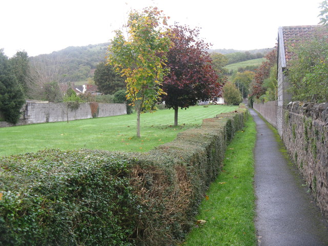
Image: © M J Richardson Taken: 31 Oct 2013
Connecting The Barrows [B3135] with Hannay Road - running alongside a very long garden.
Images are licensed for reuse under creativecommons.org/licenses/by-sa/2.0
Image Location
Latitude
51.282339
Longitude
-2.782952