Pasture by Brook Farm
Introduction
The photograph on this page of Pasture by Brook Farm by Espresso Addict as part of the Geograph project.
The Geograph project started in 2005 with the aim of publishing, organising and preserving representative images for every square kilometre of Great Britain, Ireland and the Isle of Man.

There are currently over 7.5m images from over 14,400 individuals and you can help contribute to the project by visiting https://www.geograph.org.uk
Pasture by Brook Farm
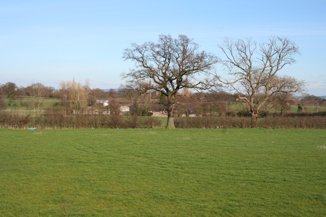
Image: © Espresso Addict Taken: 21 Mar 2007
View from the crossroads by Ropegreen Bridge. Brook Farm is visible through the trees (centre left). The busy A500 runs through the fields in the right distance
Images are licensed for reuse under creativecommons.org/licenses/by-sa/2.0
Image Location
Latitude
53.070925
Longitude
-2.457258