The Drive
Introduction
The photograph on this page of The Drive by Marathon as part of the Geograph project.
The Geograph project started in 2005 with the aim of publishing, organising and preserving representative images for every square kilometre of Great Britain, Ireland and the Isle of Man.

There are currently over 7.5m images from over 14,400 individuals and you can help contribute to the project by visiting https://www.geograph.org.uk
The Drive
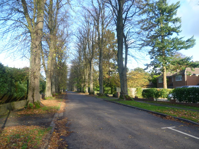
Image: © Marathon Taken: 4 Nov 2013
Church Lane comes from Reigate Road (A240) and passes between Nork Park and Tattenham Way Recreation Ground as a path before becoming The Drive which is the road seen here. It then reaches Brighton Road (A217) a little way ahead.
Images are licensed for reuse under creativecommons.org/licenses/by-sa/2.0
Image Location
Latitude
51.316268
Longitude
-0.217656