The rear of Ballymena's NIFR Station viewed across the River Baird
Introduction
The photograph on this page of The rear of Ballymena's NIFR Station viewed across the River Baird by Eric Jones as part of the Geograph project.
The Geograph project started in 2005 with the aim of publishing, organising and preserving representative images for every square kilometre of Great Britain, Ireland and the Isle of Man.

There are currently over 7.5m images from over 14,400 individuals and you can help contribute to the project by visiting https://www.geograph.org.uk
The rear of Ballymena's NIFR Station viewed across the River Baird
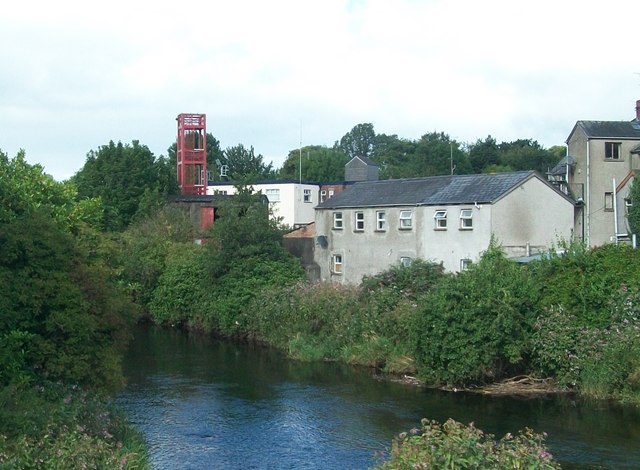
Image: © Eric Jones Taken: 9 Aug 2011
The image was taken from Bridge Street.
Images are licensed for reuse under creativecommons.org/licenses/by-sa/2.0
Image Location
Latitude
54.862001
Longitude
-6.280216