St. Hilda's
Introduction
The photograph on this page of St. Hilda's by Mick Garratt as part of the Geograph project.
The Geograph project started in 2005 with the aim of publishing, organising and preserving representative images for every square kilometre of Great Britain, Ireland and the Isle of Man.

There are currently over 7.5m images from over 14,400 individuals and you can help contribute to the project by visiting https://www.geograph.org.uk
St. Hilda's
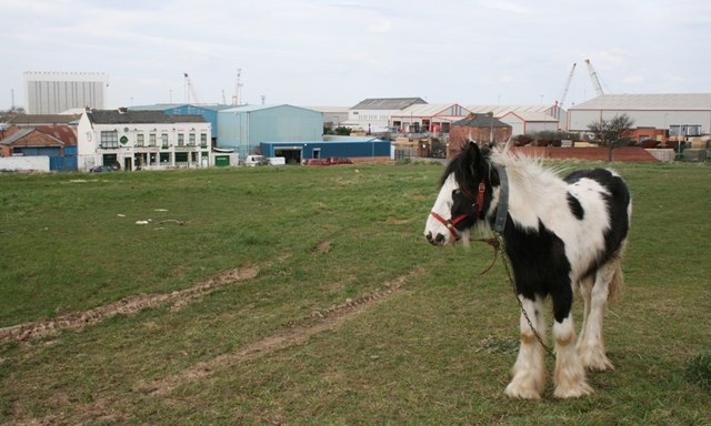
Image: © Mick Garratt Taken: 14 Mar 2007
Middlesbrough was born on the slight hill overlooking the Tees estuary. This area was once overcrowded with cheap back to back houses built to house the growing population of Middlesbrough. It was cleared and rebuilt with "modern" housing in the 1970s but these have in turn been demolished to make way for redevelopment.
Images are licensed for reuse under creativecommons.org/licenses/by-sa/2.0
Image Location
Latitude
54.583047
Longitude
-1.235634